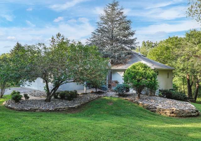
Beautiful farmland located in the heart of Mt. Airy. This 50.98 parcel is currently being used as ag but is zoned R40,000. Based on the size, location, and zoning (potential for subdivision) there are many exciting opportunities with this one. The parcel is being sold “as is”. There is one well on the property. All subdivision plans would need to be approved by city/county jurisdictions. There is ag rental income potential while undergoing development opportunities.
School District Name: CARROLL COUNTY PUBLIC SCHOOLS
School District Source: Listing Agent
Location Information
Outside City Limits
Directions: Take Rt 27. Turn onto West Watersville Rd. The lot will be on the left hand side directly across from Nottingham Village. There is a spot off the side of the road to pull in to park.
Public facts
Beds: —
Baths: —
Finished Sq. Ft.: —
Unfinished Sq. Ft.: —
Total Sq. Ft.: —
Stories: —
Lot Size: 1.16 acres
Style: Vacant Land
Year Built: —
Year Renovated: —
County: Howard County
APN: 04 319168
Home facts updated by county records on Jul 23, 2026
Sale and tax history for Watersville Rd
Sale History
Tax History
Date
Event
Price
BRIGHT MLS #MDCR2019316
May 3, 2024
Pending
—
Mar 22, 2024
Listed
$1,950,000
Public Records
Nov 5, 2014
Sold
$370,000
MRIS #HW7877317
Jul 17, 2012
Delisted
—
Jul 2, 2012
Listed
*
Public Records
Jun 3, 1985
Sold
$28,900
Public Records
Feb 14, 1984
Sold
$25,000
Year
Property tax
Land + Additions
Assessment*
2025
$157
$11,600
2024
$157
$11,600
2023
$157
$11,600
2022
$157 (−0.4%)
$11,600
2021
$158 (+0.4%)
$11,600
2020
$157
$11,600
2019
$157 (+4.2%)
$11,600
2018
$151 (+0.4%)
$11,600
2017
$150 (−0.4%)
$11,600
2015
$151
$11,600
2014
$151
$11,600
2013
$151 (+4.9%)
2012
$144
2011
$144
2010
$144 (+10.3%)
2009
$131
Public record
Public record
Zoning
Beds
—
Baths
—
Stories
—
Lot width
—
Lot depth
—
Lot size
1.16 Acres
Year renovated
—
Finished Sq. Ft.
—
Unfinished Sq. Ft.
—
Total Sq. Ft.
—
Year built
—
Style
Vacant Land
County
Howard County
APN
04 319168
Parking Spaces
—
Basement
—
Accessible
—
HOA Dues
—
Garage
—
Features
—
Last updated by owner on Jul 23, 2026.
RC-DEO
Rural Conservation-Density Exchange Option Overlay District
The Rural Conservation District is established to conserve farmland and to encourage agricultural activities, thereby helping to ensure that commercial agriculture will continue as a long term land use and a viable economic activity within the County. The RC District is also established to preserve natural features and the rural landscape, while allowing low density, clustered residential development. Residential development is to be permitted only when it is located and designed to minimize its impact on agricultural land, farming operations, and sensitive environmental features; to create attractive rural developments; and to respect existing features of the rural landscape. The preferred land use in the RC District is agriculture. The District is intended to permit a range of uses related to agriculture, to encourage the preservation of large blocks of farmland, and to permanently protect from development the tracts of land which remain after permitted residential development has occurred. Residential lots in the district are likely to be adjacent or close to agricultural land. Residents of property within the RC District should be prepared to accept the impacts associated with normal farming practices; The DEO Overlay District is established to provide land owners in the RC and RR Districts with opportunity and incentive to preserve significant blocks of farmland in the rural area of the county. This district is also intended to encourage the clustering of residential development in areas where the development will not have an adverse impact on farm operations. To accomplish this, the DEO District allows residential density in the RC and RR Districts to be exchanged between parcels. Density exchanges in the District should result in large parcels being preserved in perpetuity, while residential development is directed toward parcels which are able to absorb the additional dwellings.
Permitted uses
Include but are not limited to:
Agriculture
Housing-Single unit
Public service
Educational/school
Fire house
Recreation
Communications tower
Park & open space
Climate risks
1/10 Flood Factor
Minimal risk of a flood reaching the building in the next 30 years
3/10 Fire Factor
0.15% chance of being in a wildfire in next 30 years
5/10 Heat Factor
7 days above 102° expected this year, 14 days in 30 years
4/10 Wind Factor
12% chance of strong winds in next 30 years
3/10 Air Factor
2 unhealthy days expected this year, 3 days in 30 years
Provided by First Street
Historical weather
Mount Airy, MD • 21771
Average low and high temperatures (°F)
36
22
41
27
60
39
67
48
72
54
83
64
88
70
82
64
77
59
67
47
56
39
42
28
Jan
Feb
Mar
Apr
May
Jun
Jul
Aug
Sep
Oct
Nov
Dec
Sun exposure
In this area, properties receive around 9.2 hours in
June and 4.1 hours in December, placing it below the
U.S. average for solar exposure.
9.2 hrs
4.1 hrs
JuneDecember
Provided by Shadowmap
Redfin Estimate for Watersville Rd
$1,841,593
$108K under list price of $1.95M
Nearby comparable homes
The Redfin Estimate uses 6 recent nearby sales, priced between $675K to $1.5M.